Why this wave has been kept quiet for so long I do not know. Only in the last few months have artciles on the web and in magazines started to appear in any real detail. Kayak Session in particular have provided excellent coverage of the wave that lies near their home town of Lyon, France.
Category: Paddling Places (Page 38 of 41)

The stretch of the Tees from Egglestone to Cotherstone is know as the racing stretch due to its use as a ww racing venue. Access at Eggleston Bridge has been dodgy for some years so you are better off heading up stream to put on at Middleton. The outdoor centre at Middleton is a pefect place to get on, it can found just outside of town on the road to High Force. As you leave town you’ll go over a stone bridge which has a tight left hand turn. As you head up the bank you’ll see some new houses on the left. The outdoor centre lies just beyond the houses. Don’t park in front of the house, just call into the outdoor centre and ask if it is OK to leave your car. 9 times out of 10 it will be OK. From the Outdoor centre a short 200m walk down a narrow footpath takes you right down to the river. Alternatively park in town and walk down to the river.

Today (22nd April 2012) was the third opportunity to move the blocks on the short course. The aim of today was the collection of data to enter into and verify a computer based model. Ultimately it is hoped that the model will allow different scenarios to be tested without the need for the heavy lifting.
A small crew of five shifted the blocks today.


Sam Ellis styles it down Cauldrons Snout. A class V+ stretch of whitewater on the River Tees (UK).
Sam Ellis running the Cauldron Snout on the River Tees. You can count on one hand how many times this section has been successfully run. But this is the first time it has been ran with a substantial amount of water. The river was at approximately 0.7 on the nearest river level gauge.
Cauldron Snout is 180m long and is recognised as Englands longest waterfall which looses 61m giving it a gradient of 34 percent. Sit back watch and enjoy!
This has to be one on the classic all year runs in the UK. This section may be short but can be ran at most times times of the year.
The get in is at the High Force Hotel where there is ample parking. A small fee will get you parking and access to the water. The river can be reached by walking a few yards east from the hotel where a footpath leads you down the valley to a large grassed area some two hundred yards down stream of high force itself.

From here the river bimbles down through some grade II/III rapids before reaching Salmon Leap (aka Dog Leg) falls. In each case the line is easy to work out. If needed a path runs down the whole length of the run (river right) which is great for inspection or another sneaky go of the last rapid! Continue reading
A few images from the Tees Barrage International WW Course. Ben’s new house has been built in the short course.


A video from Nathan Butler. From the same weekend as this.
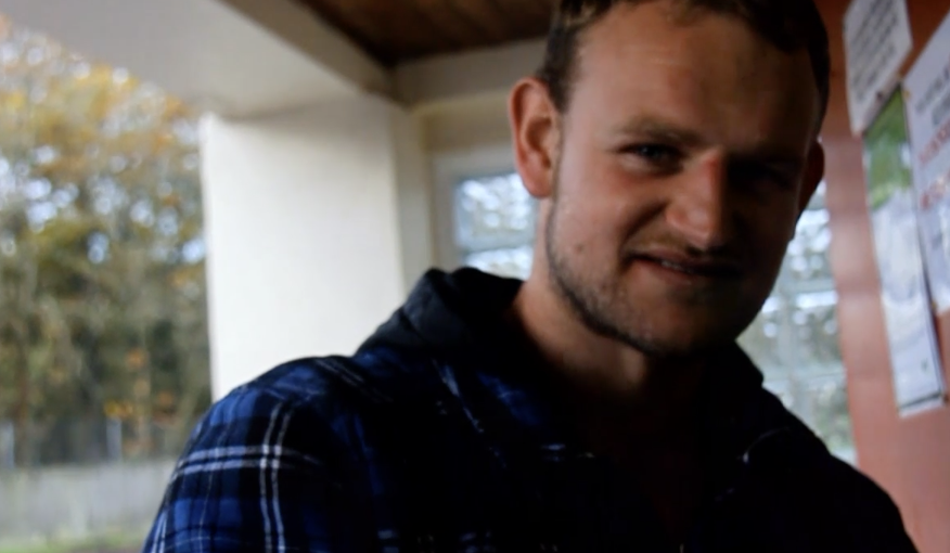
This is my first review and hopefully not my last, for Phil and all at unsponsored, but my aim is to get straight to the point and make sure everybody knows what my reviews are about, in other words I dont intend to waffle on, I was taught KISS, Keep It Simple Stupid.
The Soca valley is the jewel of Slovenia, with its crystal clear waters and awesome scenery, you’ll be glad you made the trip. The Soca consists of all grades, even up to 6, which your given plenty of warning for on the river so as not to rush. The paddle its self is out of this world, the mountains, the clear water and lush vegitation make it one of the most outstanding rivers around, and when its nice and warm after a rain storm, you get a nice mist on the river which restricts your visability to about 10 ft, which can be scarey, but fun, as you can hear the rapids approaching but you cant see them.
As you see from the map, which has been in my car since July 2001 after we had been to the worlds so excuse the creases,the river is twisting and has a few little becks that are fun to do and are mainly 2-3.The map is free from camp sites and is as accurate as you could want, even for all the islands in the river. The boxs which are green and red are the get in/out points and these are easlly found from the roadside by the nice friendly signs that are situated all along the main road, which is not what you’ll get if you travel further south, roads that is. There are also red ! (I forgot what there called) these are the danger areas on the river.
The camp sites are plenty, we stayed at the main one in Bovec but theres loads all the length of the river, the locals are friendly and can speak English and its also very cheap for food but even cheaper for beer and cigs. I never met anyone else who was English out there as most of them are either German or Slovenian, but as I said there friendly.
If you really want to see the river before you go then try and get a copy of Simon Westgarths video,Genotype, which has a nice selection of all grades on the river.
Hope you have a nice trip- Bigjeff
Grade 1
Rivers with long, flat stretches of slowly moving water with occasional simple rapids, waves low, course easy to steer.
Use: Inland touring, instruction of novices and possibly racing and touring events. In flood conditions these sections are often high volume and the ‘normal’ characteristics are replaced by a much higher graded flow. Trees along the normal channel may create difficulties.
Grade 2
Fairly frequent rapids, usually with moderate regular waves or easy eddies.
Use: Touring for proficient canoeists. Moving water skills required. May be suitable for teaching such skills. White-water races and lower-division slalom competitions. In flood conditions the technical difficulty increases dramatically and the river may only be suitable for proficient canoeists. These sections have a steeper gradient and may include obstructions within the channel. Continue reading
The Zambezi river is one of the top paddling destinations in the world. The class V water in gorges below Victoria falls provides 24km of top notch paddling fun. This is a high volume, pool-drop river with little exposed rock either in the rapids or in the pools below the rapids.
The Zambezi is considered to be at its best at low water levels. The low water season lasts from July to January. At other times the Zambezi is still more than worth a go, but some of the wave trains are washed out.
T he put in for both low and high water runs lies just down stream from the bottom of Victoria falls and is know as the boiling pot. The subsequent rapids down the Bokata gorge are separated by distinct pools of slack water. This has allowed the rapids in the one day run to be individually numbered from 1 -18. Rapids #19 to #25 represent a grade 2/3. Rapid #23 is the last rapid on the “high water” one-day run. Continue reading
Pure Land Expeditions
Northshore Watersports

Recent Comments